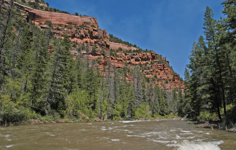
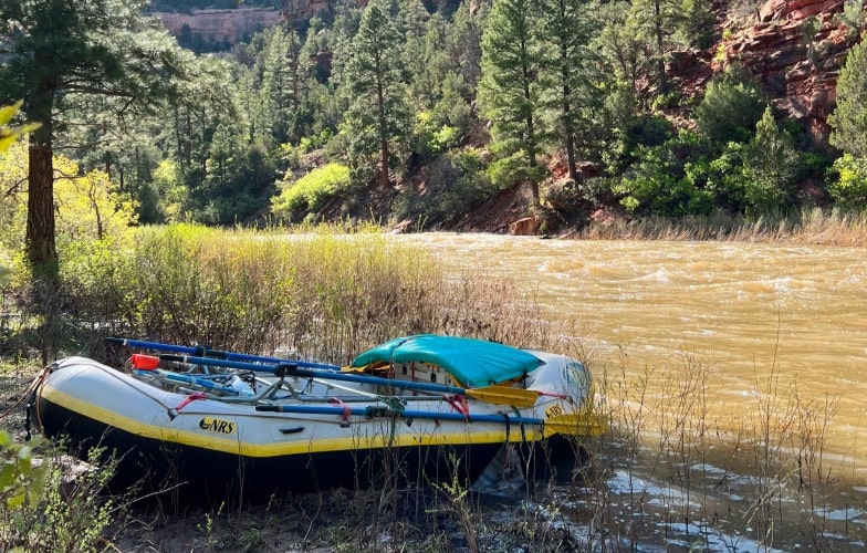
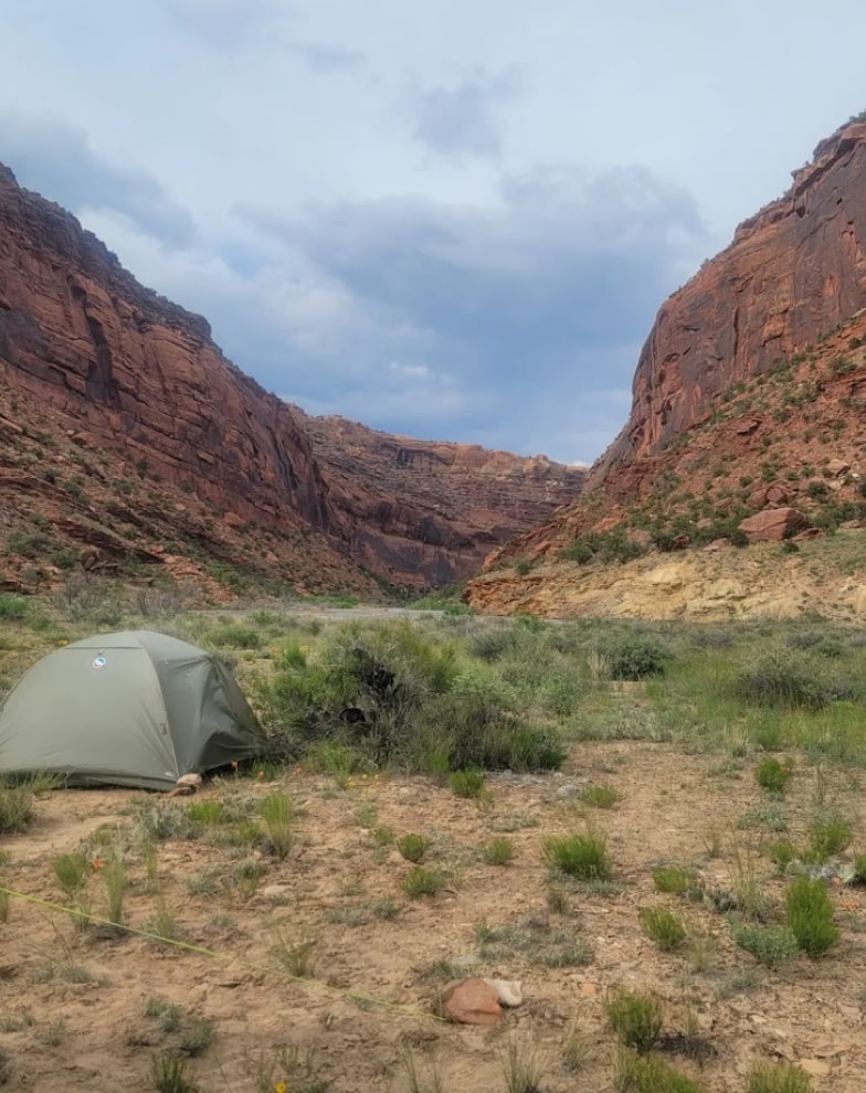
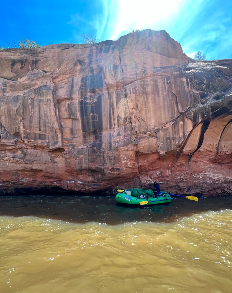
Meandering and mellow with unbelievable beauty
Slick Rock Canyon

Slick Rock Canyon Trip Search:
slick rock canyon overview
Downstream of the small hamlet of Slick Rock, where Highway 141 crosses the river, the Dolores River twists and turned between the tall and stunning red sandstone cliffs of Slick Rock Canyon. By the time the Slick Rock Canyon section of the Dolores ends at the tiny outpost of Bedrock, it has matured into a sweeping desert river.
Recommended For: Families and groups looking for a mild and relaxing multi-day river adventure.
Recommended Trips on Slick Rock Canyon – Dolores River:

slick rock canyon sections
Slick Rock Canyon Whitewater Rafting Details:
Difficulty: Class II-III (What does this mean?)
Elevation: 5472′ to 4939′
Average Gradient: 10.7′ per mile
Access to Access
Slick Rock to Gypsum Valley: 13.8 miles
Gypsum Valley to Bedrock: 35.7 miles
Total Mileage: 49.5 miles
reviews

What people are saying
resources
Information for Dolores Self-Guided Boaters:
The Dolores River is managed by the Bureau of Land Management out of Dolores, CO.
- Boating Permit Required: NO
- Permit Details: No fee of any kind is required to float the river, although there are group size limits.
- River Manager: U.S Bureau of Land Management – Tres Rios Field Office
29211 Hwy 184, Dolores, CO 81323
970.882.7296 ~ www.blm.gov/co/st/en/fo/sjplc.html
Shuttles:
Please contact the river manager (above) for information on shuttles.
