Mild water on Colorado’s western slope
Palisade to Loma
Search Our Trips:
palisade to loma overview
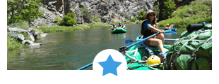
As you paddle through Grand Valley the Lower Colorado picks up a bit more water at the confluence of the Gunnison River. Wide and flat, this is a pleasant float with nice scenery and plenty of waterfowl. If time permits, allow for a quick stop in Colorado’s wine country.
Recommended Trips on the Palisade to Loma Section – Lower Colorado River:
At this time, we do not have information on outfitters that offer commercial trips on this section.
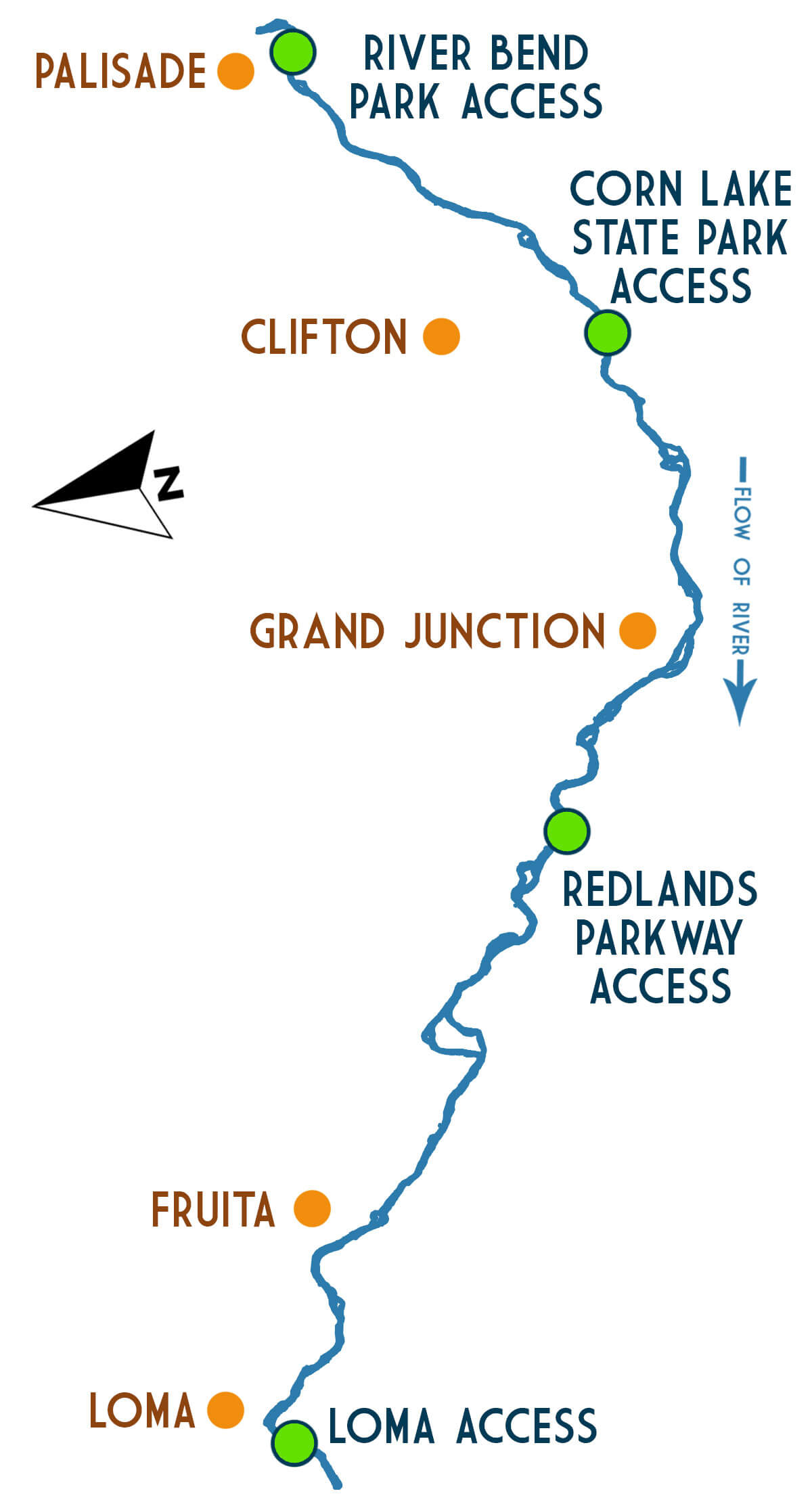
Palisade to loma sections
Lower Colorado River – Palisade to Loma Whitewater Rafting Details:
Difficulty: Class I-II (What does this mean?)
Elevation: 4682′ to 4451′
Average Gradient: 7.7′ per mile
Access to Access
River Bend Park to Corn Lake State Park: 10.0 miles
Corn Lake State Park to Redland Parkway: 10.0 miles
Redlands Parkway to Loma: 10.0 miles
Total Mileage: 30.0 miles
reviews

What people are saying
resources
Information for Lower Colorado River Self-Guided Boaters:
The Lower Colorado River (Palisade to Loma and Ruby-Horsethief Canyon) is managed by the Bureau of Land Management out of Grand Junction, CO.
- Boating Permit Required: NO
- Permit Details: No fee of any kind is required to float the river, but you do need to buy a pass to use the BLM managed and private access sites.
- River Manager: U.S Bureau of Land Management – Grand Junction Field Office
2815 H Road, Grand Junction, CO 81506
970.244.3000 ~ www.blm.gov/co/st/en/fo/gjfo.html
Shuttles:
Please contact the river manager (above) for information on shuttles.